The Lafayette-Moraga History Trail.
A nine-stop interpretive walking tour for the regional trail's fiftieth anniversary.
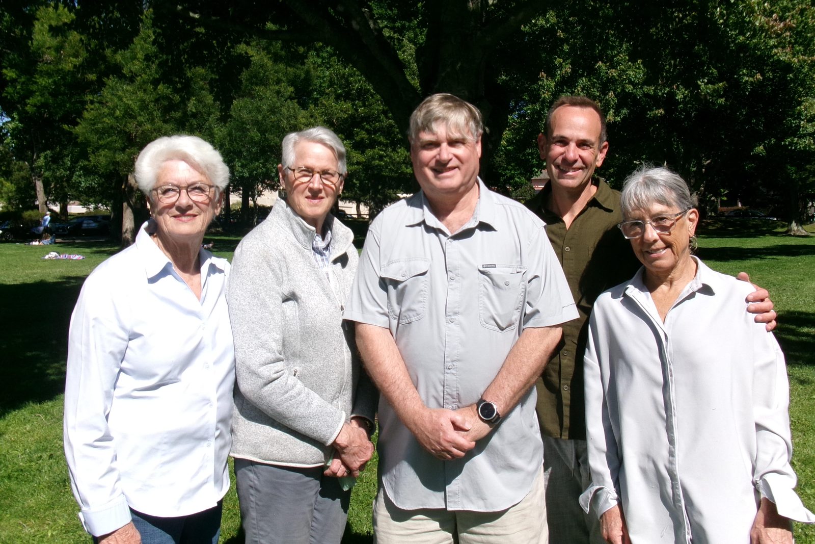
Join community leaders, local history buffs, and neighbors to unveil the signs and celebrate fifty years of one of California's early rails-to-trails conversions. Light refreshments.
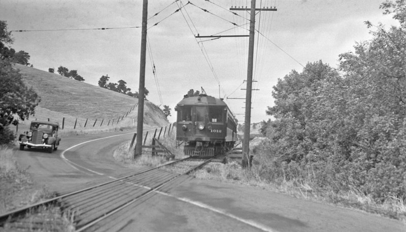
Explore the nine stops ↗The Lafayette-Moraga Regional Trail opened in 1976 and turns fifty this year. To mark the milestone, the Lafayette-Moraga History Trail (LMHT) adds nine interpretive stops along the route. The corridor went from mule trains to an electric railroad to an abandoned rail line, and finally to the trail thousands of people in Lafayette and Moraga use today.
The project spent several years bringing that history out of the archives and onto the trail itself, in partnership with East Bay Regional Park District, local historical societies, and community partners. Each stop pairs archival photography with concise interpretive writing, sited where the history actually happened.
The ribbon cutting is Saturday, October 10. Visitors can preview the new panels before they go up along the trail. More information at lmhistorytrail.org ↗.