Interactive maps from the civic and political work.
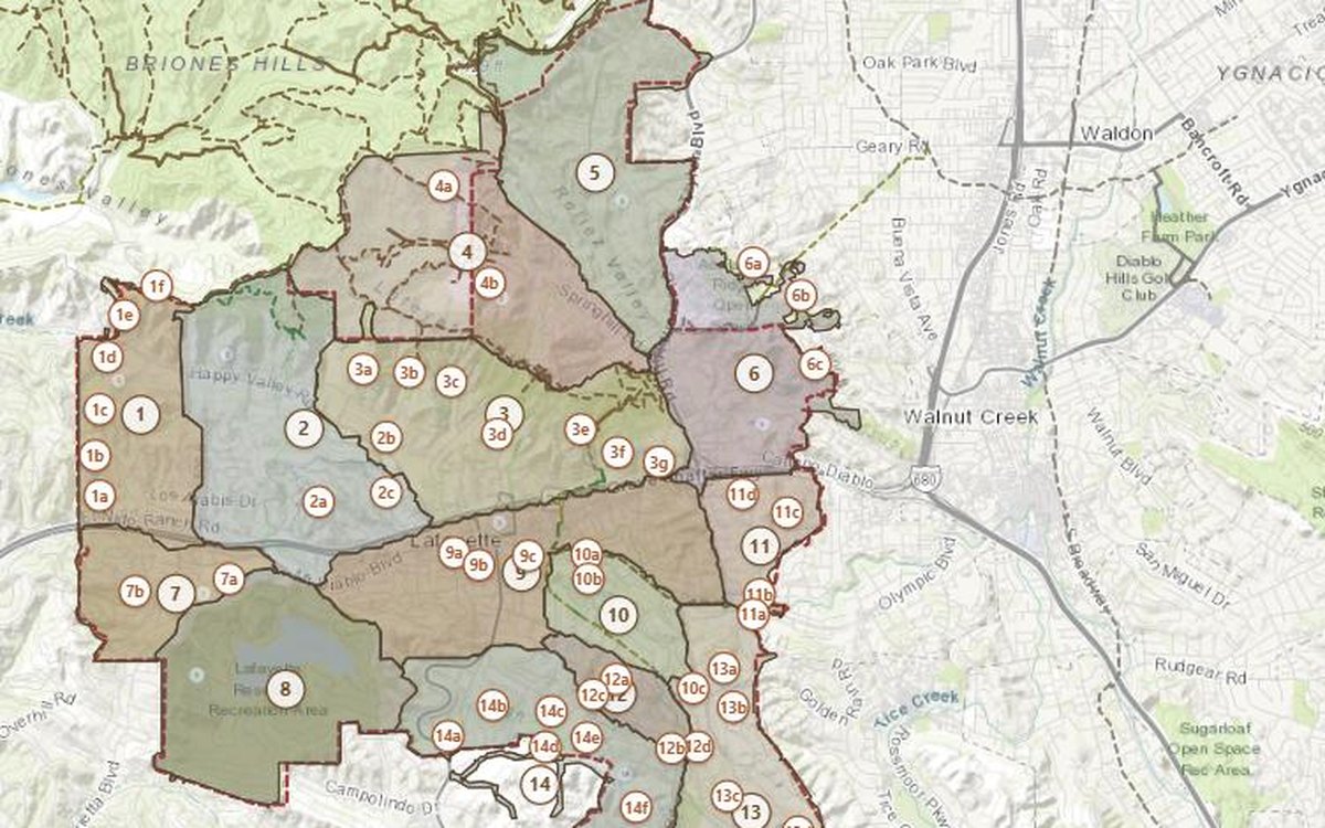
Lafayette’s draft Trails Plan, on a real map
The September 2026 draft exists only as a scan — no text, no geometry. Its 15 trail areas and all 54 sub-trails are rebuilt here as real geography, each one carrying the plan’s own words, with the original page a click away.
Open the map →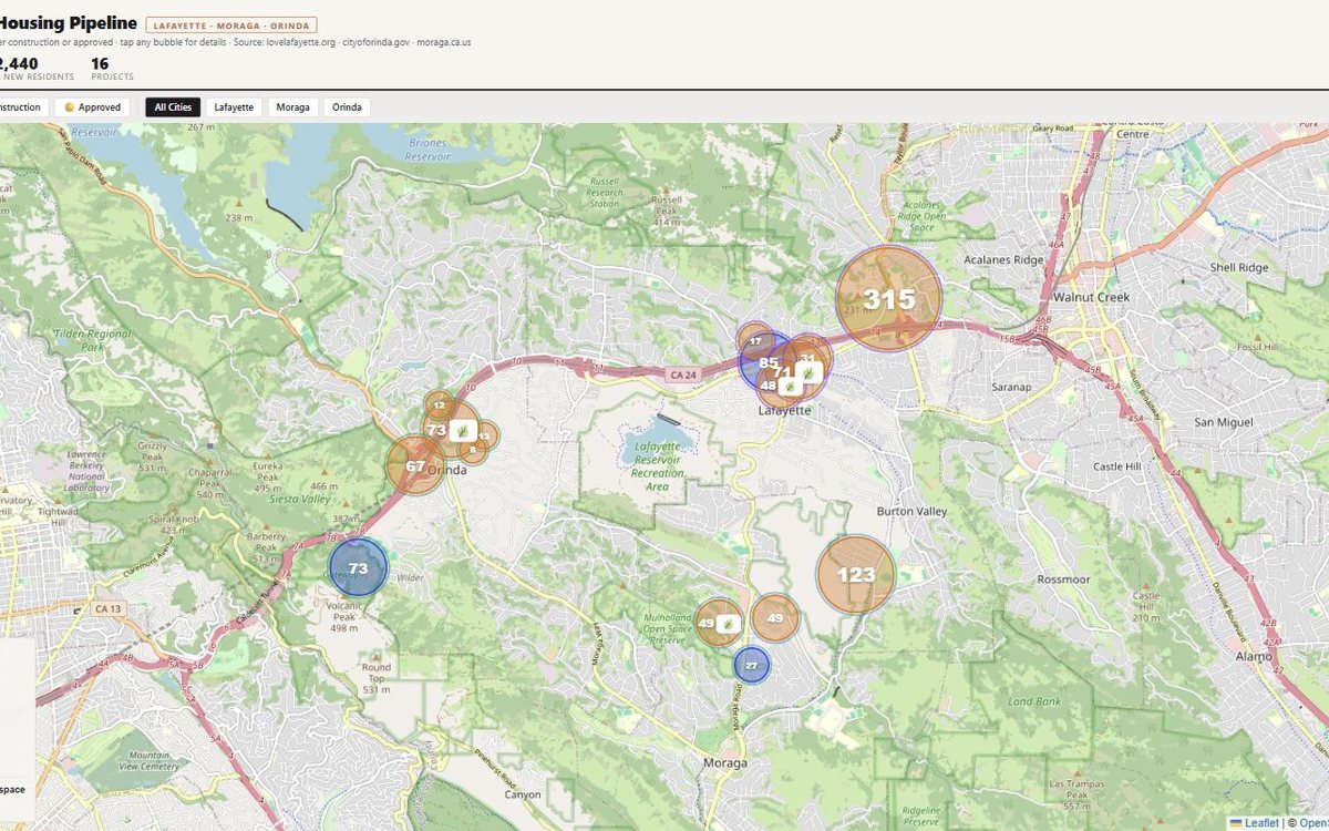
The Lamorinda housing pipeline, mapped
Every residential project under construction or approved across Lafayette, Moraga, and Orinda — 16 projects, roughly 1,060 units — bubble-sized over the towns they'll reshape.
Open the map →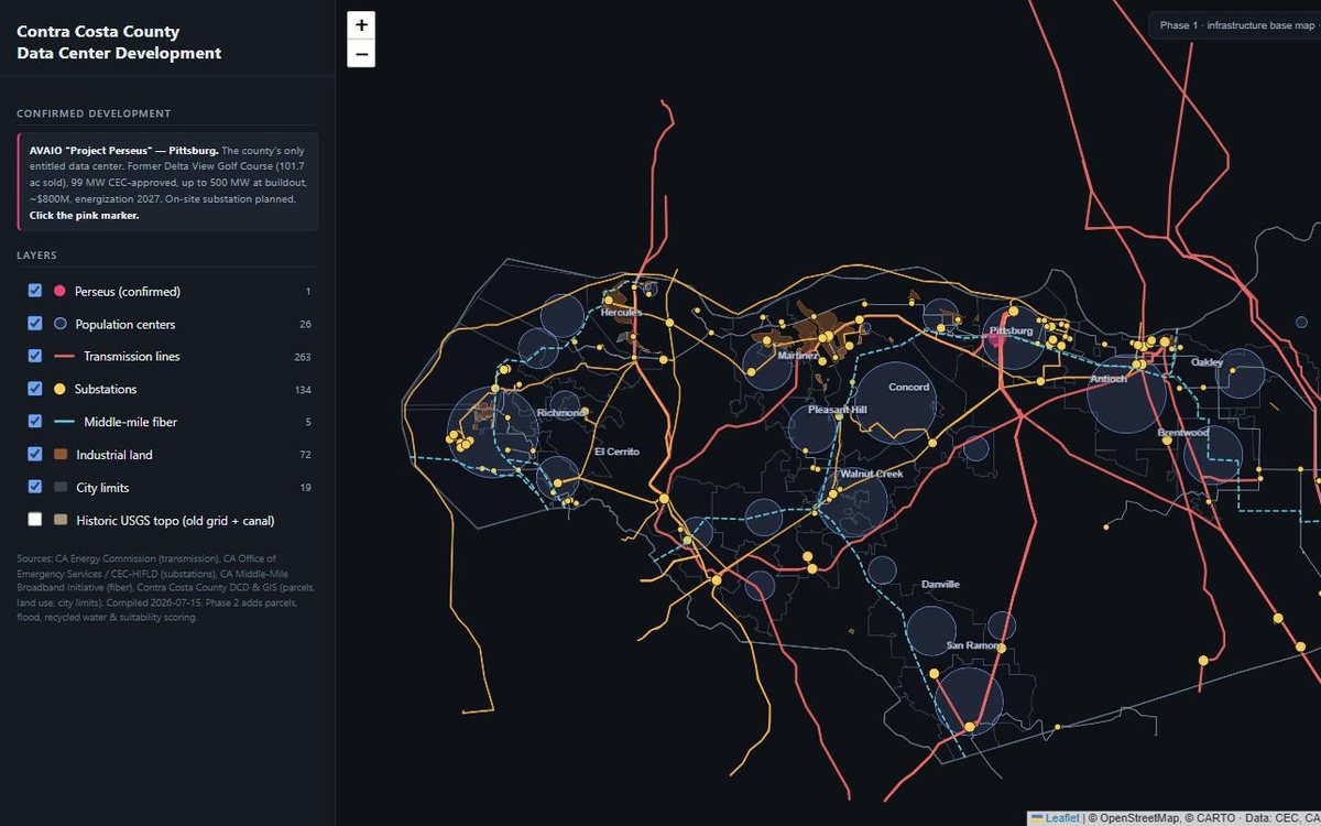
Where a data center could land in Contra Costa
The county's power grid read as a siting map: 263 transmission segments, 134 substations, middle-mile fiber, and industrial land — plus AVAIO's "Perseus," the one entitled data center, on a former golf course.
Open the map →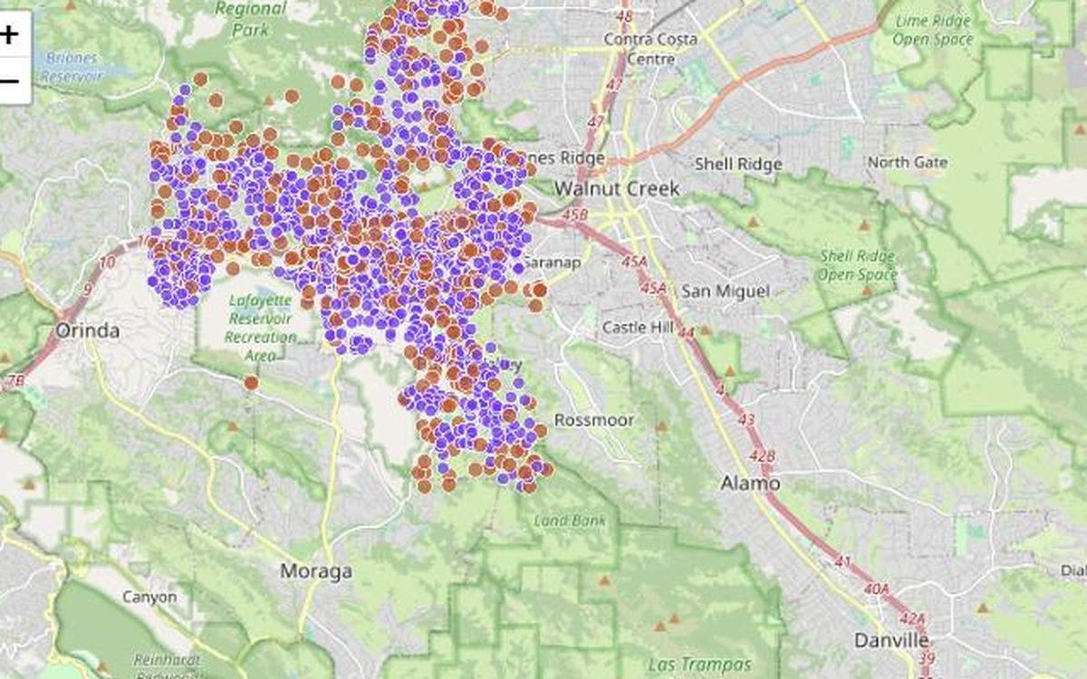
A proxy map of Lafayette's vacant parcels
1,822 parcels flagged as potential vacancy — empty land, and addressed lots with no registered voter — built from public parcels crossed against the voter file. A signal to investigate, not an authoritative roll.
Open the map →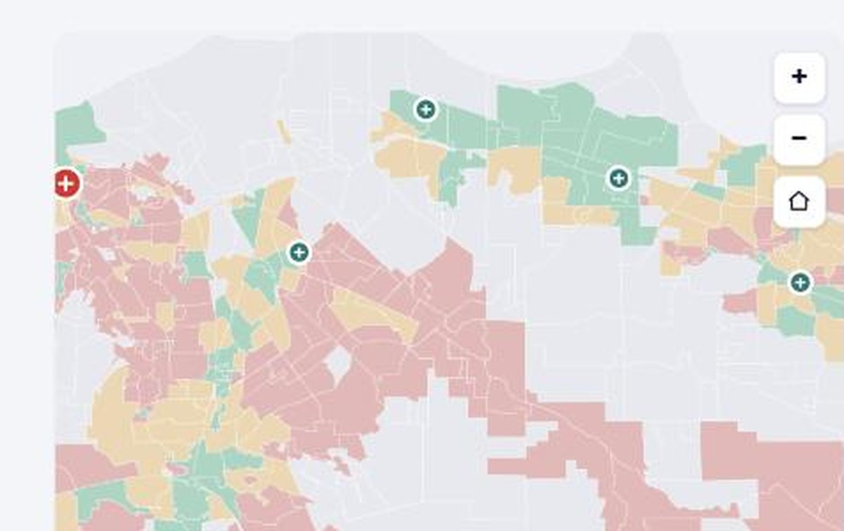
How did my neighborhood vote on the healthcare tax?
Type in a Contra Costa address and see how your precinct decided Measure B, the county healthcare sales tax — every precinct shaded yes or no, with county hospitals and health centers on the map.
Open the tool ↗